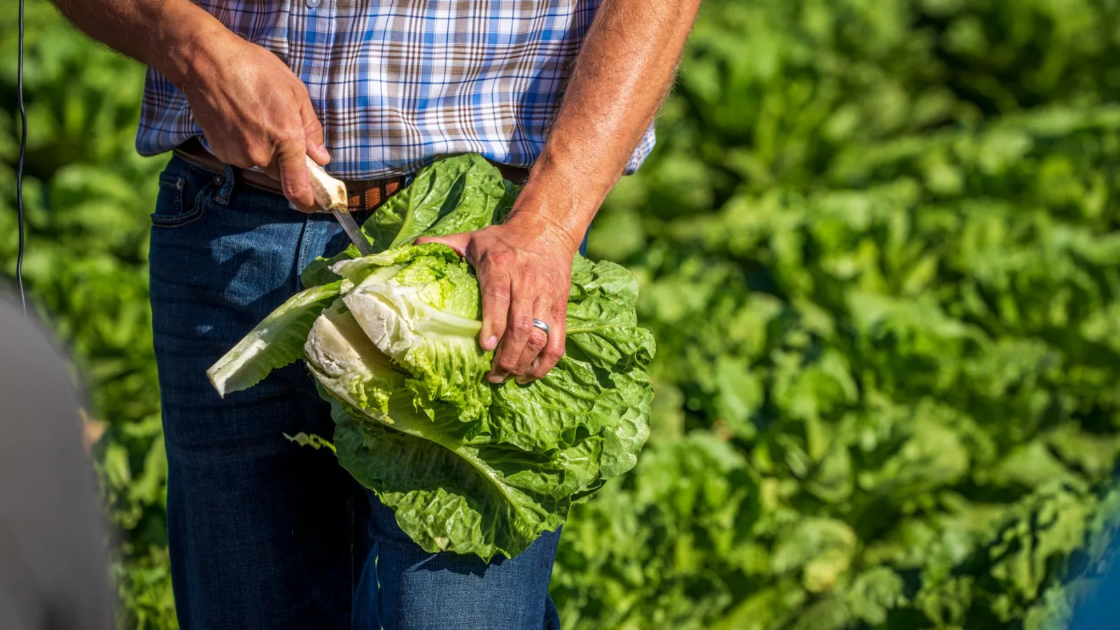
Yellowish spots have spread across the outer leaves of the napa cabbage you're growing for winter kimchi. Snap a photo, upload it to a plant-ID app, and within seconds three or four disease names pop up, each with a probability attached. The same technology that puts names to photos is also used to read satellite imagery. A study published in 2026 in the journal Sensors tested a model that looks at each tile of a satellite image and decides on its own what kind of scene that patch of land shows.
Sorting Satellite Images Into Ten Scenes
The researchers drew 10 scene types from NWPU-RESISC45, a public satellite-image dataset released by Northwestern Polytechnical University in China. The full dataset covers 45 scene types, and among them is farmland: circular fields, rectangular fields, and terraced fields. Images shot from above are tricky to sort. The same farmland can change color dramatically depending on the season and the crop, and grassland and cultivated fields can look like the same shade of green.
The researchers took an image-classification model called EfficientNetV2-S and added a module to its final stage that re-weighs which of the many features pulled from a photo deserve more attention. On test images it had never seen before, the model got more than 98 out of 100 right, matching or slightly beating comparison models that use more parameters. That said, how much the new module actually improved accuracy varied from one run of the experiment to the next, and the researchers themselves stopped short of vouching for its effect.
The Labels the Model Gave Itself Helped Only a Little
Satellite images labeled and checked by a person take hands-on work, one image at a time, so there are never enough of them. The researchers first showed the model unlabeled images, kept only the answers it was more than 90% confident about, used those as labels, and trained it again. The model without the added module improved in accuracy every time across three repeated runs, but the gains were small enough that the researchers wrote it was hard to tell whether the difference was just chance. For the model with the module, the gains were smaller still.
Homiclub's Take: Holding It Up to Garden Photos
This study dealt with satellite images. It didn't test apps that diagnose disease on a single leaf. Still, it offers a few takeaways worth keeping in mind if you use a photo-ID app in your garden.
- Look-alikes trip up AI on leaves, too. Young Korean wild garlic (sanmaneul, also called victory onion) has leaves that closely resemble those of poisonous lily of the valley. If it's something you plan to eat, don't decide based on the app alone. Check it against the tests in a field guide, such as whether the leaf smells of garlic when you rub it between your fingers.
- The researchers trusted only answers above 90%. If the probability your app shows is lower than that, take two or three more photos of other leaves on the same plant before settling on a disease name, and see whether the results agree.
- Your own garden is short on labeled photos, too. Shoot once a week from the same spot at the same height, and jot down the date, the crop, and any symptoms you noticed that day. Next year, when the same spots show up, you'll have photos to compare them against.
- That 98% came from 10 neatly curated scene types. Nothing in this study suggests an app will do as well with garden photos full of shadows, water droplets, and soil.
The model gained little from the unlabeled images. This one study can't settle the question, but it can be read as a hint that a handful of photos a person has checked and labeled may be worth more than a pile of unchecked ones. The dates and notes in your garden photo log may turn out to be worth just that much.
Sources: A 2026 study in the journal Sensors on remote-sensing scene classification with SE-EfficientNetV2-S; NWPU-RESISC45 satellite image dataset, Northwestern Polytechnical University, China