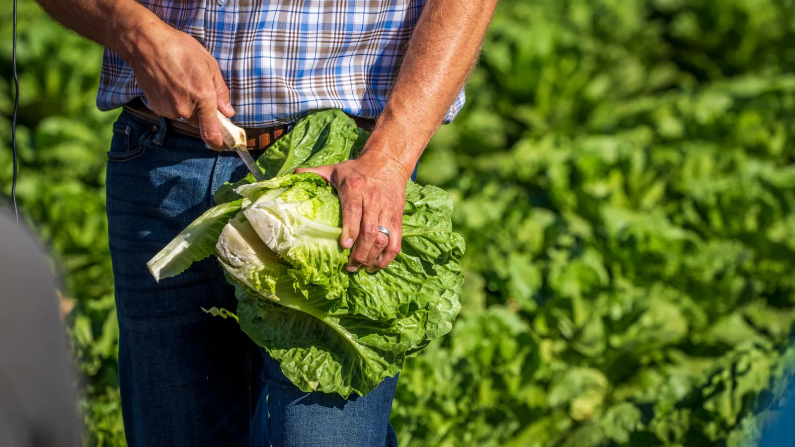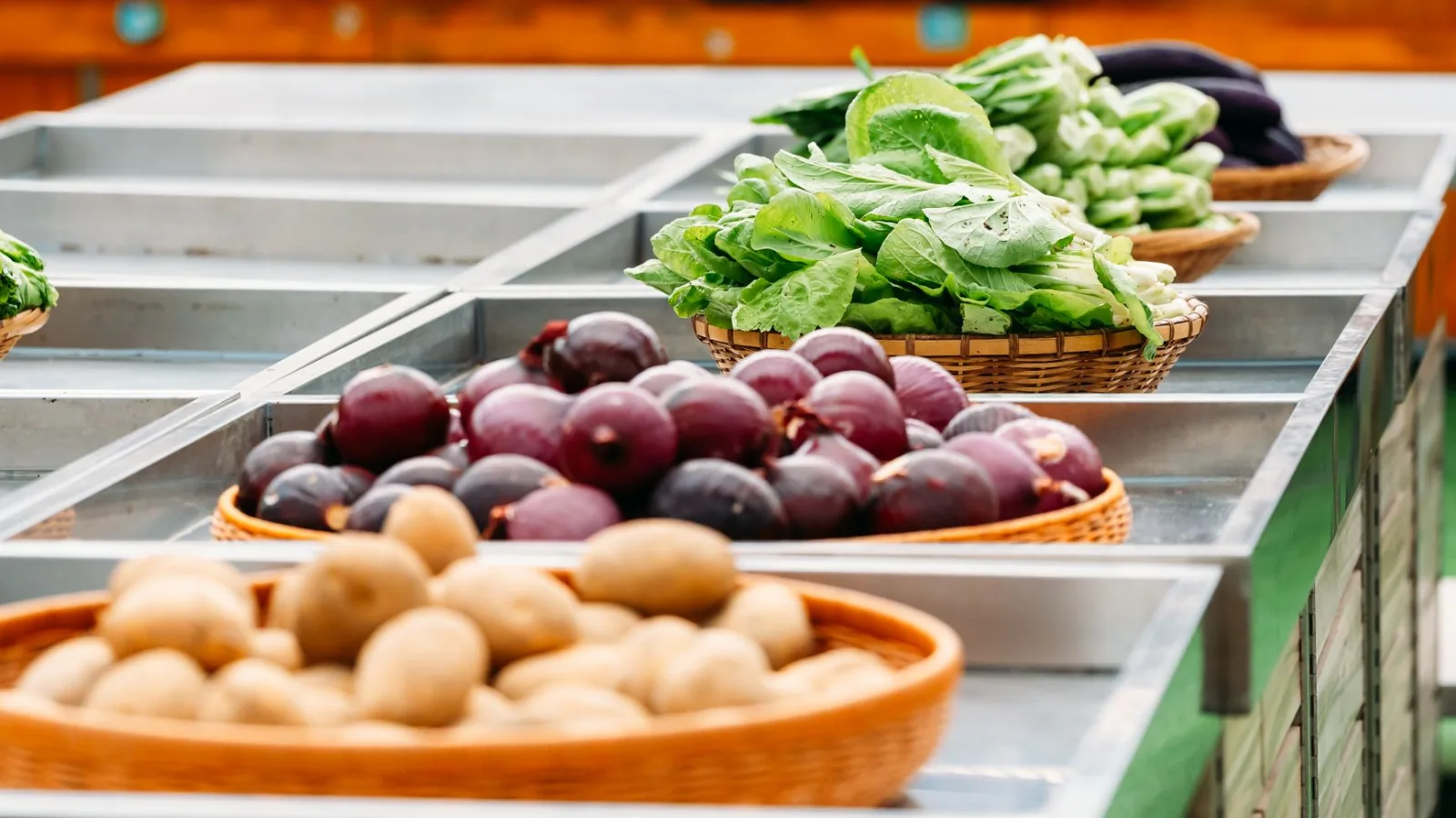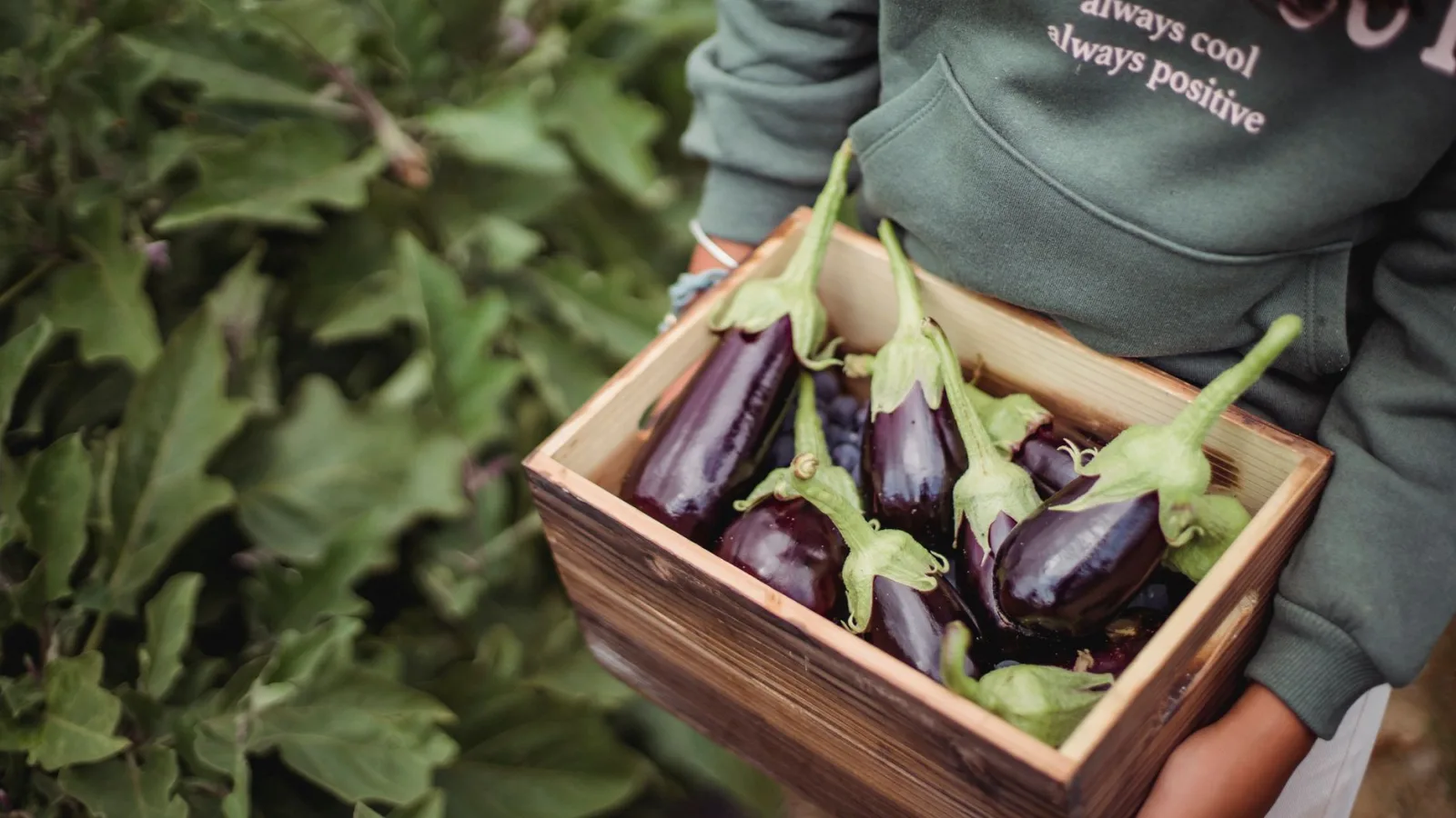
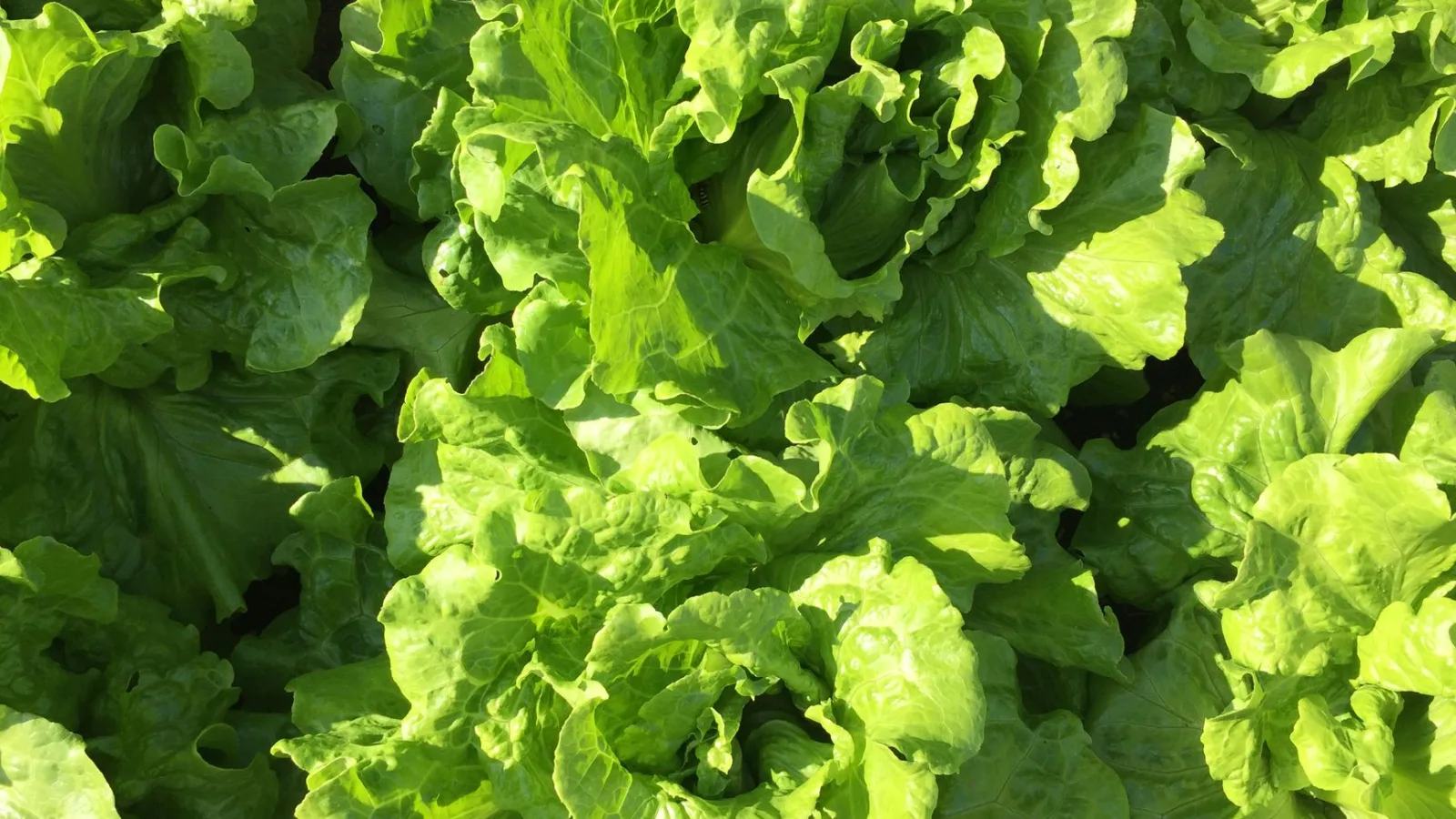
Walk through a garden just before harvest and you'll notice that lettuce planted on the very same day comes up a different shade from one row to the next. Where the soil drains well, the leaves are a deep green; where shade lingers, they fade to a pale yellow-green. If differences like that show up in a plot of just a few square meters, how can anyone tell which fields are short of what across all the small farms scattered around the world?
Sizing Up a Crop From Satellite Photos
For decades, satellites have recorded how the land changes, with forests shrinking and cities spreading. Researchers are now using that record to take on one of agriculture's oldest questions: Can we harvest more food while easing the burden on the environment?
A satellite's camera captures near-infrared light along with the light our eyes can see. In a healthy leaf, chlorophyll absorbs red light while the leaf's tissue bounces back a great deal of near-infrared. Turn the difference between the two into a number and you get a vegetation index known as NDVI; the higher the value, the lusher the growth is taken to be. And because the same field can be photographed again season after season, it becomes possible to see which fields have grown less than their neighbors at the same point in the season.
Small Fields Are Finally Coming Into Focus
The Food and Agriculture Organization of the United Nations (FAO) estimates that most of the world's farms are smaller than 2 hectares (20,000 m²). In older satellite imagery, a single pixel covered tens to hundreds of meters, so several small fields blurred into one dot and couldn't be told apart. Now that data with 10 m pixels, such as the European Space Agency's Sentinel-2, is freely available, it is becoming possible to trace field boundaries and measure how the crop is doing one field at a time.
The researchers believe this data can help pick out the fields that need help first. A field that lags behind its neighbors year after year may be short on something, whether fertilizer, water, seed, or growing know-how. Send fertilizer and training to those fields first, and the same amount of aid brings in more food. Spread more fertilizer on fields that are already producing well, though, and the harvest barely budges, while the leftover nitrogen can wash into rivers and groundwater. That said, the proposal rests on estimates calculated from satellite data, and how well it holds up on the ground still needs to be confirmed.
Photo-Watching in Your Own Garden
One Sentinel-2 pixel measures 10 m × 10 m, or 100 m². That is often larger than a single plot in a city garden, so satellite images won't show you plant-by-plant differences in your own patch. But the order of operations carries straight over to the garden: compare with the neighbors, then check the ones that have fallen behind first.
- Photograph the whole row once a week, from the same spot and at the same time of day. Overcast days, when the light spreads evenly, are best for comparing leaf color.
- When you find a plant whose leaves have gone pale, look at drainage, hours of sun, and the condition of the roots before you reach for fertilizer. Nitrogen deficiency is only one reason leaves turn yellow; waterlogged soil, cold, and root damage are among the others.
- Side-dress only the pale spots, a little at a time. Leafy greens such as lettuce and spinach that take up too much nitrogen are known to build up more nitrate in their leaves, and their tissue turns soft, leaving them more vulnerable to pests and disease.
There are also things a photo from above won't tell you. Aphids on the undersides of leaves, nematodes in the soil, the flavor of the fruit: none of it shows up in a picture. A photo only tells you where to look first. To find the cause, you have to get down among the rows, flip a leaf over, and squeeze a handful of soil. Lettuce that has had just the right amount of nitrogen grows evenly dark and firm, which also makes it perfect for ssam, Korean-style lettuce wraps.
When you head out to the garden today, snap one photo of the whole row with your phone. Set it beside next week's shot from the same spot, and you'll see which plants to tend first.
Sources: FAO statistics on the world's small-scale farms; the European Space Agency's guide to Sentinel-2 satellite data; news coverage of research that uses satellite imagery to identify small farms to target for sustainable-agriculture support