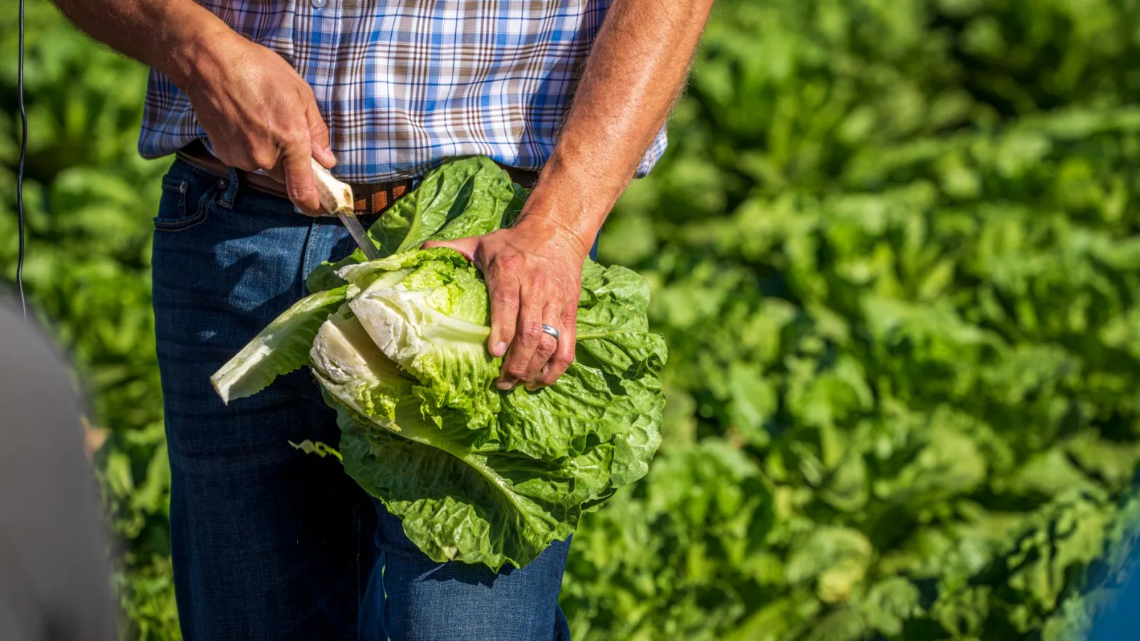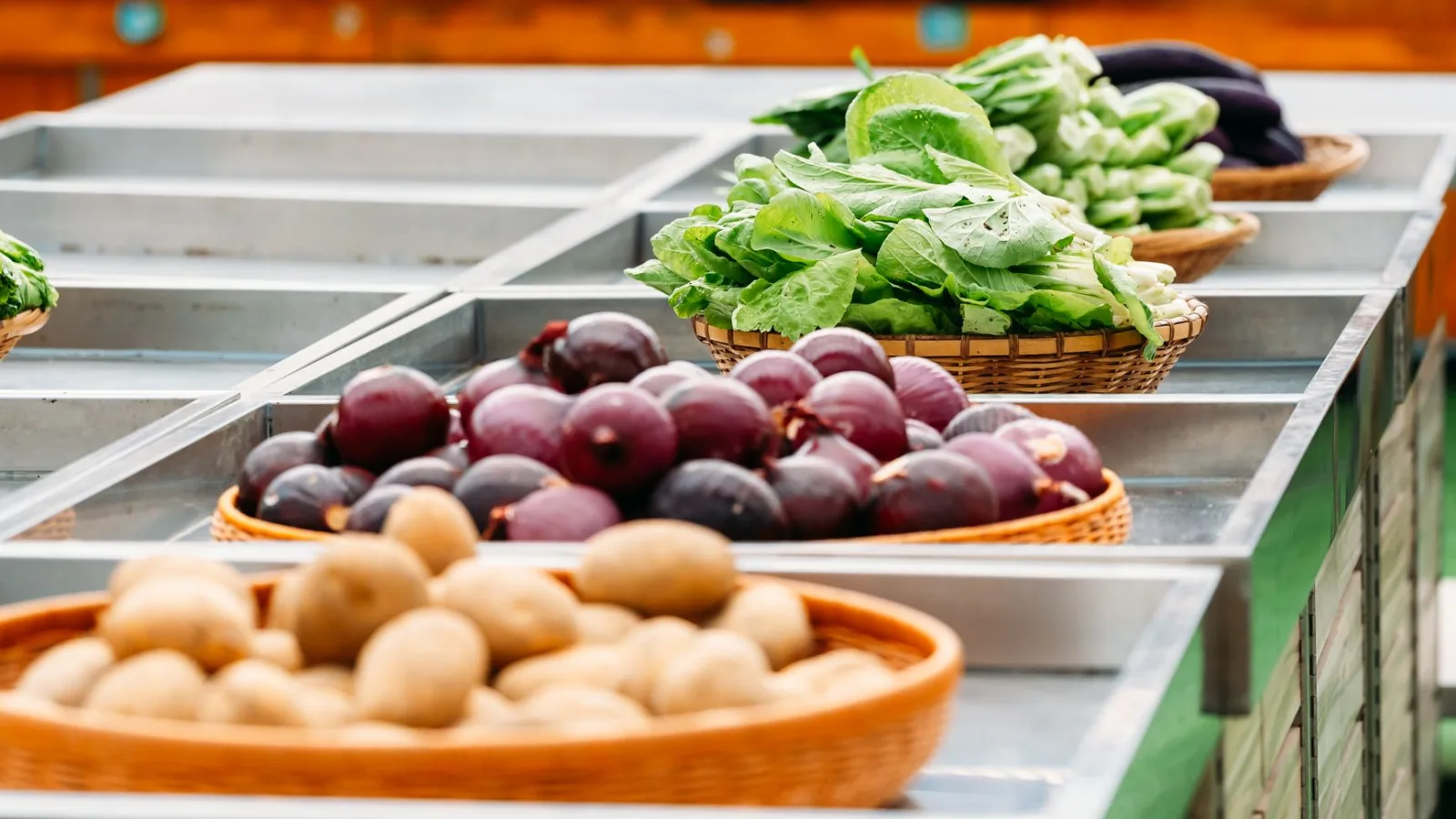
A slice of toast, half a block of tofu, and a bowl of rice land on the breakfast table. That is three crops: wheat, soybeans, and rice. Of the three, only the bowl of rice was likely grown in Korean soil. Nearly all of the wheat, and a good share of the soybeans, came from fields across the ocean. What kind of weather those fields are sitting under right now is something you can't see from the table. Research that maps where drought poses the greatest threat to crop production points to exactly where those unseen fields are.
The Land That Keeps Showing Up on Drought Maps
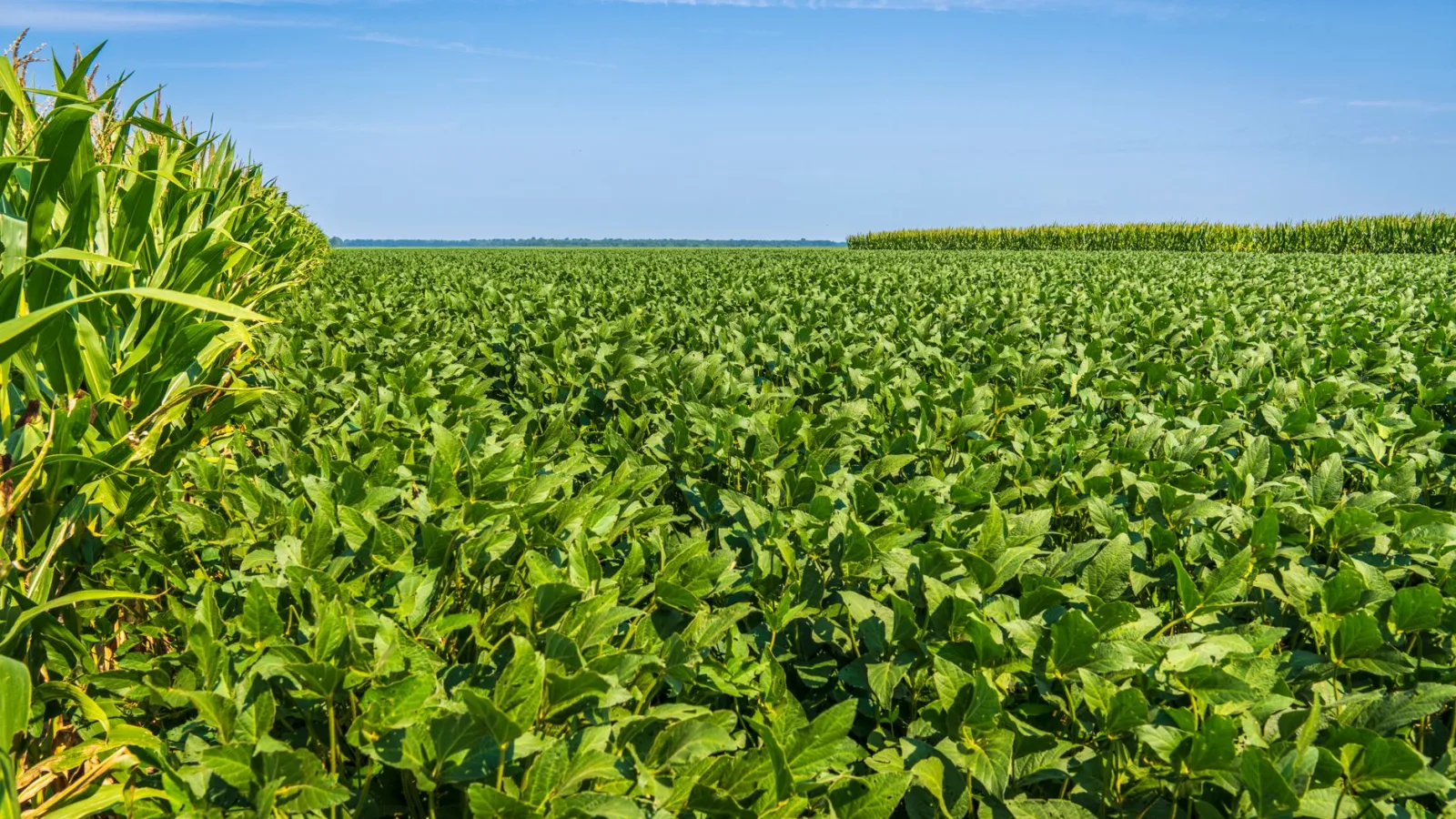
With temperature and rainfall swinging more widely from year to year, there is more reason than ever to know which land's crops are most vulnerable to those swings. Drought-mapping studies lay national harvest records over temperature and rainfall data and look for the places where even a modest shortfall in rain cuts deeply into the harvest. The boundaries shift a little from study to study, but a few regions almost never drop off the list: the corn and soybean belt of the American Midwest, the wheat lands of the North China Plain, the wheat and rice belt of northwestern India, the Mediterranean coast, the corn country of southern Africa, the wheat belt of southeastern Australia, and the soybean lands of central Brazil and Argentina. Most of the world's wheat, corn, and soybeans come from these few places.
How much drought actually cuts into harvests has been written down in numbers. Lesk, Rowhani, and Ramankutty gathered disaster records from countries around the world covering 1964 to 2007 and published the results in the journal Nature in 2016. In years when drought or extreme heat struck, a country's grain production fell by 9 to 10 percent on average. Floods and cold snaps did not produce a gap of that size. The years when water ran short were the worst years for grain.
Why That Land Dries Out First
These are places where most of the year's rain falls in a short window, and for the rest of the seasons the fields draw on groundwater or rivers. As temperatures rise, the same rainfall loses more water to evaporation from soil and leaves, so less of it reaches the roots. When rain comes down all at once, it runs off before it can soak in. The UN Food and Agriculture Organization estimates that about 70 percent of the fresh water people use goes to agriculture. A field cut off from rain pulls that water from aquifers and rivers, and in a year when even that runs short, the harvest shrinks.
Crops have their own vulnerable moments, too. If wheat runs short of water during the ten days or so when the heads emerge and flower, or corn during the two weeks or so when the silks come out, the kernels don't fill properly. When drought lands in that window, the harvest won't recover even if generous rain follows. That is why drought maps mark not only the land but the crop growing on it.
Holding the Map Up to My Garden
A city garden is watered from the tap. So a drought on the land marked on the map reaches your grocery basket before it reaches your beds. The years when flour, cooking oil, tofu, and grain-fed meat swing in price line up with the years when rain fails on the land the map flags as high-risk. But the map shows averages at the scale of countries and regions. It can't tell you which field will dry out this year, or what flour will cost next month. It is best not to ask the map what the map doesn't say.
Still, the principle behind the map applies just as well to a 10-square-meter plot. Keep the water from running out during the crop's most vulnerable window, and give only as much as the soil can hold rather than a lot at once.
- If the soil is dry 5 cm down, about two finger joints deep, it's time to water.
- Giving 10 L of water to 1 ㎡ of soil is the same as 10 mm of rain. For summer vegetables, giving that amount once every three days, in the morning, sends roots deeper than a little every day.
- A 5 cm layer of straw or fallen leaves over the soil noticeably cuts the water lost from the surface.
Choose your crops with the map's eye, too. Lettuce, napa cabbage, cucumbers, and tomatoes show it right away when water runs out. Lettuce turns bitter and tough, and tomatoes split when watering is uneven. Foxtail millet, proso millet, sorghum, sesame, and sweet potatoes, on the other hand, have deep roots or small leaves and hold up when the rain thins out. Drought tolerance is also why the UN declared 2023 the International Year of Millets and put foxtail millet, proso millet, and sorghum back on the table. If watering wore you out this summer, give a corner of next year's bed to these crops.
The toast on the breakfast table most likely came from a wheat field in the United States, Australia, or Canada. Whether rain reached that field during its ten days of flowering shows up in the price of bread a few months later. Most of the land marked on the map lies across the ocean, but what happens on it arrives at the table with every meal.
Sources: UN Food and Agriculture Organization data on water and agriculture; Lesk, Rowhani, and Ramankutty, "Influence of extreme weather disasters on global crop production," Nature, 2016; UN International Year of Millets 2023 materials.